 GoogleAnalysis
Google DeepMind releases SatWeave and PARDIG open Earth science datasets powering WeatherNext 3

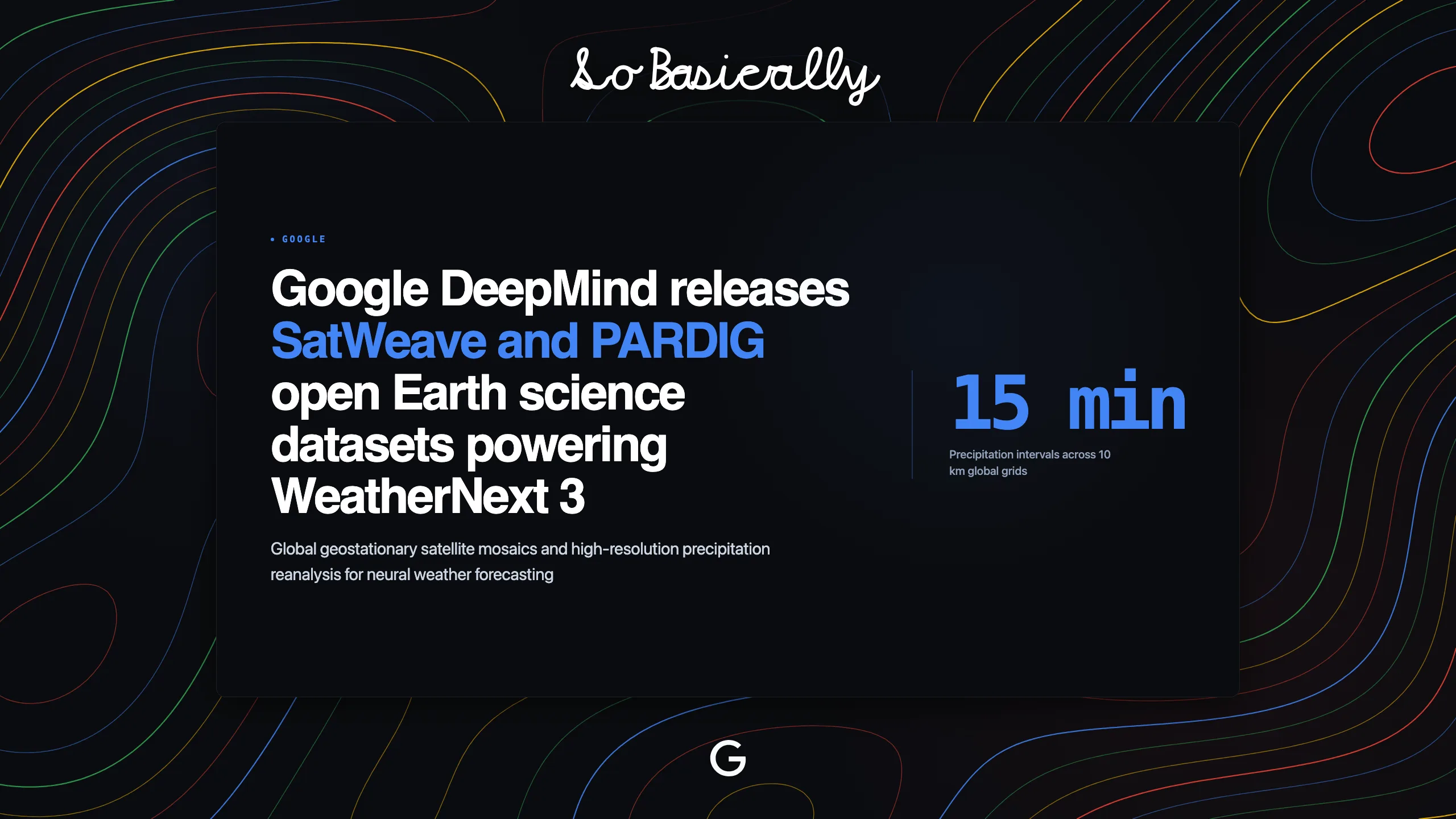
What happened.Google DeepMind and Google Research released SatWeave and PARDIG, two foundational open-access Earth science datasets that supply observation data to the WeatherNext 3 forecasting system.
Why it matters.Traditional weather models rely on delayed data feeds that take six hours to assemble. Ingesting raw satellite streams directly into neural networks allows software teams to build automated alert services for flooding and renewable energy dispatch with hourly lead times.
The technical specifications:
- Satellite mosaic: Combines observations from six geostationary satellites across 17 visible, infrared, and water-vapor channels into a unified global image grid.
- Hourly refresh: Feeds real-time satellite imagery directly into WeatherNext 3 every hour, enabling 24 daily forecast cycles to track rapidly moving storm fronts.
- Precipitation mapping: Provides global rainfall maps at 15-minute intervals across 10-kilometer grids with historical archives extending back to 1999.
- Open access: Distributes complete archives in cloud-native format on Google Cloud Storage and Google Earth Engine under a Creative Commons license.
- Multi-resolution output: Generates station-level forecasts at five-kilometer resolution and gridded surface predictions at 10-kilometer resolution in a single forward pass.